Geog321
Sunday, May 11, 2014
Hawaii
Although Hawaii is far from mainland of North America it ceded into the US. Because of its relative isolation it has its own distinct plant life and landscape. The Hawaiian islands were formed by a moving volcano also known as a hot spot. As the tectonic plate moves and spews forth land the islands are formed in a chain. The volcanoes that create these islands are shield volcanoes with wide sloping sides and do not have a explosive eruption as seen in the movies. Instead the lava slowly flows down the sides without much excitement. Many tourists flock to experience the foreign and stunning landscape. This has both positive and negative effects on Hawaii. Much revenue comes through the tourism business. Most of the businesses are owned by large corporations so the locals get low-paying jobs. The large amount of tourism destroys the landscape and creates pollution. Also because it is a tourist hot spot the cost of living goes up for the natives. To me the negative impacts outweigh the benefits of tourism.
The Pacific Northwest
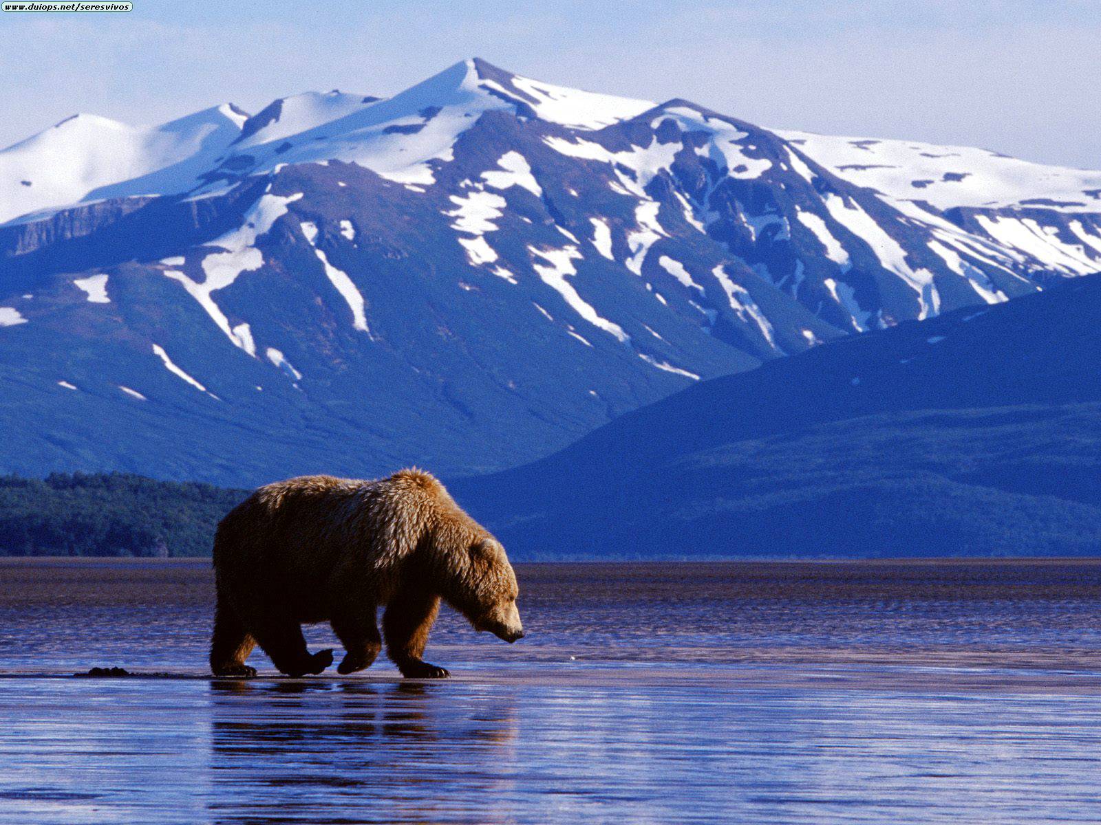
The Pacific Northwest starts from Oregon, past Washington and British Colombia, to Alaska. It is also refers to the coastal region that borders the Pacific Ocean. Also because of the ocean the temperatures are moderate with mild winters and cool summers. The two major mountain ranges are the Cascade Ranges and the Coastal Ranges. The ranges create orographic precipitation, which is the warm moist air condensing on one side of the mountain creating rainfall, while the other side has minor precipitation. This is similar to California's Rocky Mountains which blocks the moist ocean air and causes a rain shadow on the Great Basin. With large amounts of wheat farming the Pacific Northwest has many craft breweries. Alaska is isolated from the rest of the 48 states and relies on air and sea transportation. It is the largest state in the United States, being more than three times larger than California. More than half of this land is owned by the federal government.
California
California is on the western edge of the United States, bordering the Pacific Ocean. This allows trade to Asia by crossing the ocean. The city of Los Angeles is located in the southern part of California, has a relatively hot climate with occasional rainfall. But moving towards the coast the temperatures get cooler because of the ocean cooling the air. The Sierra Nevada Range resides in California. This range blocks the moist air on the west side of the mountain which condenses and precipitation occurs on the west side of the range. On the other side the dry air flows down the east side of the mountain creating the Great Basin. The Sierra Nevada blocks the prevailing winds causing little precipitation in the Great Basin.
MexAmerica
MexAmerica borders Mexico and travels up north to southern parts of California, Arizona, New Mexico, and Texas. Because the Mexico is so close to these states much of Mexican culture is also infused in the United States. There was much conflict over the territory between the US and Mexico which resulted in the Mexican-American War. After the war ended the Treaty of Guadalupe Hidalgo ceded states over to the United States. Living in Los Angeles the population is very diverse with a large portion being the Hispanic population. Much of Hispanic culture was adopted in these parts of the United States. Los Angeles has good tacos.
The Rocky Mountain Region
The Rocky Mountain is a mountain range that extends from the northwest of Canada down towards the New Mexico in the United States. The mountain range travels in a northwest and southeast direction. On the west side of the mountain there lies the Great Basin and on the east the Great Plains. The plant life is largely effected by the altitude of where the plants reside. The Rockies is rich in minerals of all kinds and is mined for its resources. California also was largely populated because of the prospect of gold. Migrating from east coast to the west coast you must pass the Rocky Mountains, unless you go down towards New Mexico where the Rockies stops.
The Great Plains
The Great Plains is aptly named for its large expanse of plains and prairie land. In the Great Plains most of the land is flat, which helps farmers grow more crop. This is why their prevalent primary sector is agriculture. Driving from the east towards Los Angeles would be uphill although it will look flat. California is not flat like the Great Plains but have mountains and valleys throughout the state. Unlike tourism in Los Angeles where people flock from different places, most tourism in the Great Plains rely on other residents in the Great Plains. Hazards that occur in the Great Plains but not in California are tornadoes. The flat land plays a role in the suitability of tornadoes because they can wreak havoc across the flat land unhindered. But in California because of the peaks and valleys the tornado would be stopped. Also temperature in the Great Plains have very extreme ranges, from freezing cold to blistering hot. The temperatures change depending on the season. Because California is a coastal state, the temperature is more under-control by the ocean. This is called the maritime climate where the ocean cools the body of air and plays affects the climate.
Saturday, March 22, 2014
The Coastal South
The Coastal South is on the coast of the Atlantic Ocean and the Gulf of Mexico. The climate is hot and humid summers with mild, wet winters. They are prone to hurricanes and tropical storms because of the climate and location. Hurricanes are prominent because of the warm ocean water, which creates a lot of water vapor. In California, hurricanes barely occur because of the cold Pacific Ocean. Many retirees move to the Coastal South for the warm climate. Also there is tourism is popular for the warm weather, and beaches. Also Disneyland located in Orlando is a big attraction for Florida. California also has a Disneyland and is a major attraction in California as well. People from all over the country go to Disneyland to have a fun time.
Subscribe to:
Posts (Atom)